|
| *****SWAAG_ID***** | 621 |
| Date Entered | 20/10/2012 |
| Updated on | 20/10/2012 |
| Recorded by | Tim Laurie |
| Category | Burnt Mound |
| Record Type | Archaeology |
| Site Access | Private |
| Record Date | 01/01/2005 |
| Location | Askrig Pasture Site 2 |
| Civil Parish | Askrigg |
| Brit. National Grid | SD 93475 92382 |
| Altitude | 378m |
| Geology | Drift over the Middle Limestone |
| Record Name | Burnt mound in pasture east of Whitfield Gill Plantation. |
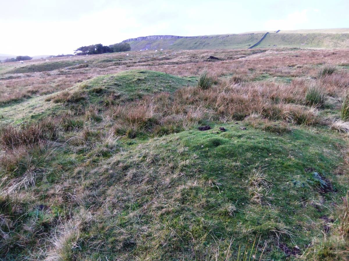
| Record Description | This medium size burnt mound, the second of an open group of four burnt mounds in Askrig pasture, is located on steep sloping pasture some 300m east of Whitfield Gill Plantation and close to a Lead Mine Hush, at an abandoned spring rise. The site comprises two seperate turf covered distinct mounds of burnt stone measuring 11m * 8m overall. |
| Dimensions | 11m * 8m overall |
| Additional Notes | First reported by Laurie T.C., 2004. 'Burnt Mounds in Wensleydale and Swaledale.' in R.F. White and P.R.Wilson Eds. Archaeology and Historic Landscapes of the Yorkshire Dales. For details of the landscape setting of this site, see photographs. |
| Image 1 ID | 3484 Click image to enlarge |
| Image 1 Description | Whitfield Gill Plantation. | 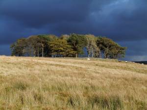 |
| Image 2 ID | 3485 Click image to enlarge |
| Image 2 Description | ASkrig Pasture Burnt Mounds, Site 2. | 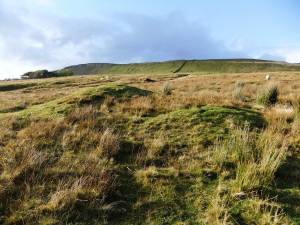 |
| Image 3 ID | 3486 Click image to enlarge |
| Image 3 Description | | 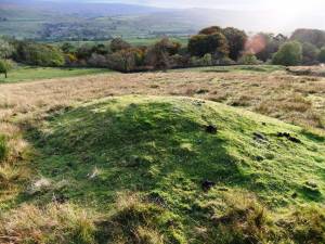 |
| Image 4 ID | 3487 Click image to enlarge |
| Image 4 Description | | 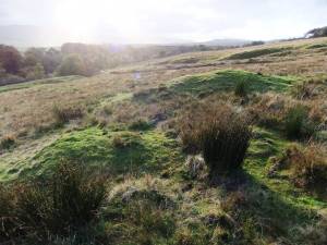 |
| Image 5 ID | 3488 Click image to enlarge |
| Image 5 Description | |  |